
End in sight for Perth warm spell

Perth's run of unseasonably warm and dry weather will come to an end on Friday when a powerful cold front crosses the southwest corner of Western Australia.
While May is usually a time of increasing rain and decreasing temperatures in Perth, this month has been dominated by warm and dry northeasterly winds. This weather has been caused by stubborn high pressure systems centred to the south of Australia.
Sunday was Perth's 12th consecutive day above 24 degrees, breaking the city's previous May record of 11 days set in 1962.
This record-run of late-season warmth is forecast to reach 16 days above 24 degrees by Thursday this week. And that will be the end of the warmth.
A strong cold front is expected to reach the nation's west coast late on Thursday and push across southern WA on Friday.
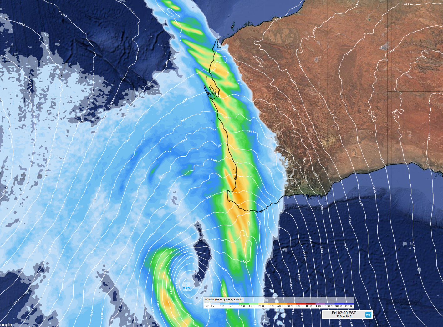
This system will drop maximum temperatures into the low twenties in Perth from Friday, while also bringing a burst of showers and thunderstorms to the state's parched southwest.
As of 9am on Monday, Perth had only received 6mm of rain so far during May, which is about 100mm below the monthly average for this time of year.
The passage of this front may cause severe weather in WA, so be sure to monitor the latest severe weather warnings from Thursday.